Masterplan unveiled for Downtown Houston in wake of Hurricane Harvey
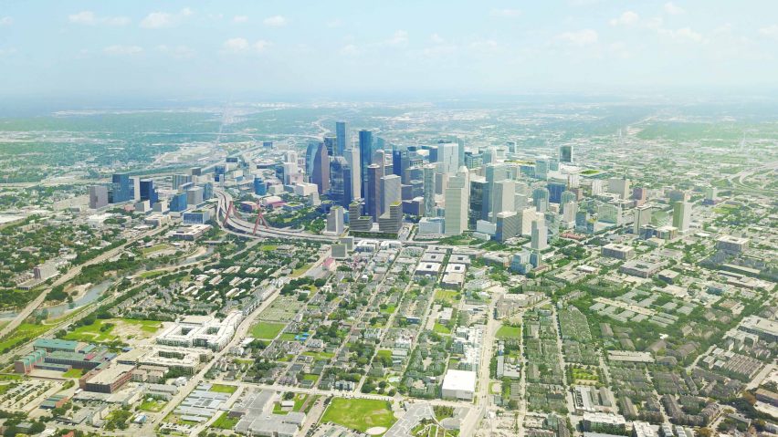
Houston has launched a 20-year plan to overhaul its Downtown business district, after the Texas city's urban design was heavily criticised following catastrophic flooding caused by Hurricane Harvey.
The Plan Downtown: Converging Culture, Lifestyle & Commerce report outlines the city's intentions to update the urban planning of Downtown Houston over the next two decades.
The document was released this month following an 18-month-long planning process, during which Hurricane Harvey caused widespread flooding in the city in late August 2017.
While climate change is often held accountable for such extreme weather, the extent of the disaster was blamed on Houston's urban design – which covers a known floodplain – and social services.
The Plan Downtown: Converging Culture, Lifestyle & Commerce responds to this by including a resiliency strategy in the plan. Many of the features are similar to those suggested by disaster expert Ilan Kelman in an Opinion column for Dezeen.
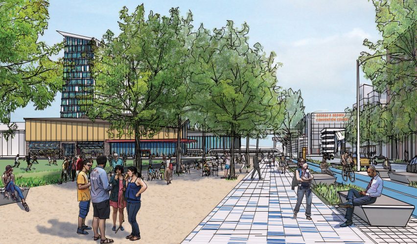
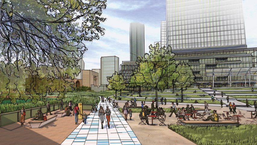
Houston's plan envisions a five-mile-long greenway of parks and trails that will act as a buffer to the Buffalo Bayou river that flows through the Downtown area.
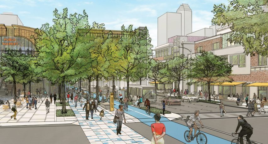
Titled Green Loop, it will be fronted with new developments like libraries, schools and community centers. The edges leading down to the water will be stepped and planted with native vegetation to absorb stormwater, while the built environment will be elevated above ground level.
Pockets of greenery placed along the pathway will also form permeable surfaces to soak up rainfall.
The greenway forms part of a bigger proposal to overhaul the Downtown transportation system, by replacing its existing elevated highways that loop the district with a new system called the North Houston Highway Improvement Project (NHHIP). The $7 billion (£5.3 billion) infrastructure development will be constructed over 10 years and span 24 miles.
Houston's 20-year plan comes on the back of a series of drastic and unpredictable weather events that took place in the US, including another hurricane that devastated cities in Florida.
Boston also recently released a new urban strategy in response to climate change, while the San Francisco Bay Area, New York City and Miami have also sought to improve their urban design to be more resilient to flooding.
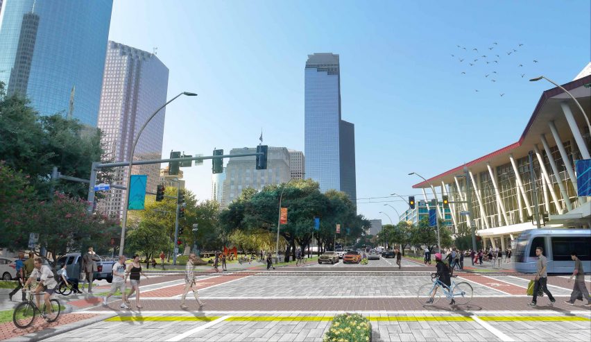
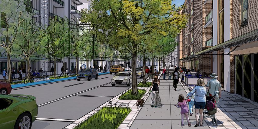
Houston's other aims focus on improving the safety of transportation in the district, which Kelman previously said could in turn reduce parking lots and roads, and offer more space for greenery that could absorb water.

Plans include increasing walkability, as well as adapting streets to accommodate self-driving cars in the future – one of a series of new technologies that are accounted for in the plan.
The introduction of smart wayfinding and a framework to foster a hub for tech business in the area are among others. Technology is already changing the way urban areas are designed, and entire new "smart cities" that integrate these features have recently been announced for Arizona and Toronto.