Software that can tell what
city it’s looking at

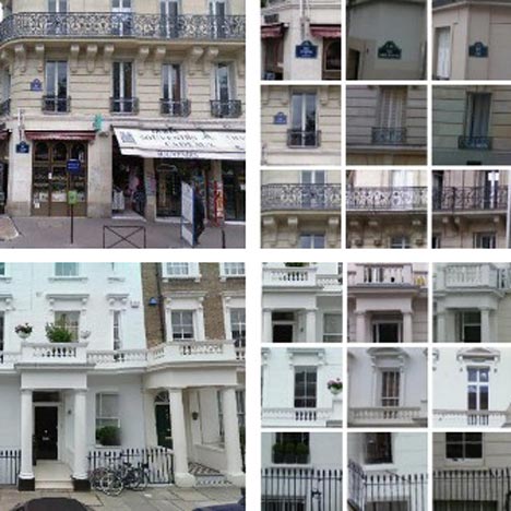
Dezeen Wire: researchers from Carnegie Mellon University in Pittsburgh and Ecole Normale Supérieure in Paris have designed software that can look at a photo and identify the city in which it was taken by recognising building typologies.
The software uses images extracted from Google Street View to cross-reference architectural elements like balconies, windows and street signs and identify patterns unique to particular locations.
This movie explains how it works:
Visit the project website for more information »
Read more
Recommended stories
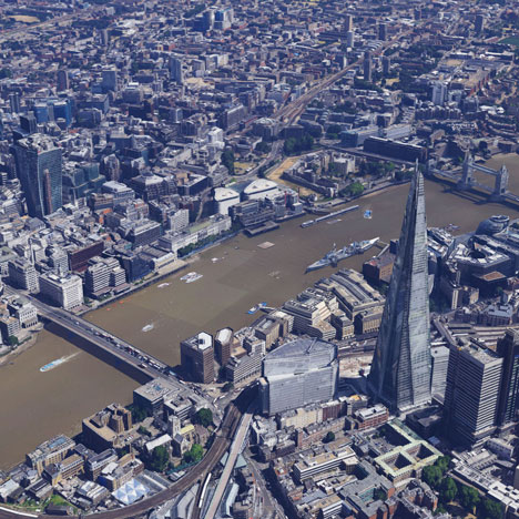
Google adds London to its growing list of 3D-mapped cities
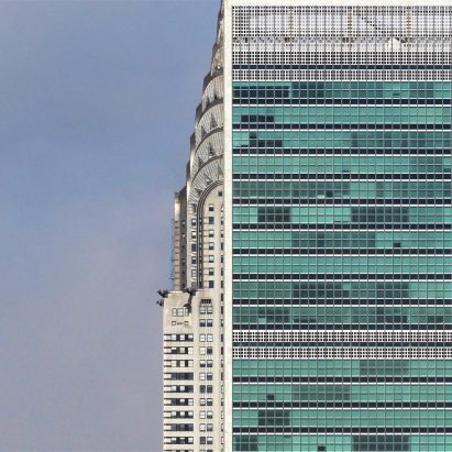
Dallas photographer Nikola Olic finds poetry in architecture
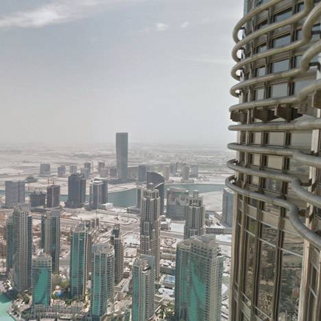
Google Street View captures inside the world’s tallest skyscraper
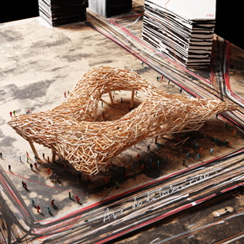
Cityscape by Arne Quinze 2

Photographer Victor Enrich turns a Munich hotel upside down and inside out
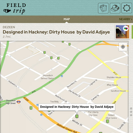
Dezeen in Field Trip by Google

Photographer Sebastian Weiss uses Instagram to capture “the syntax of cities”